
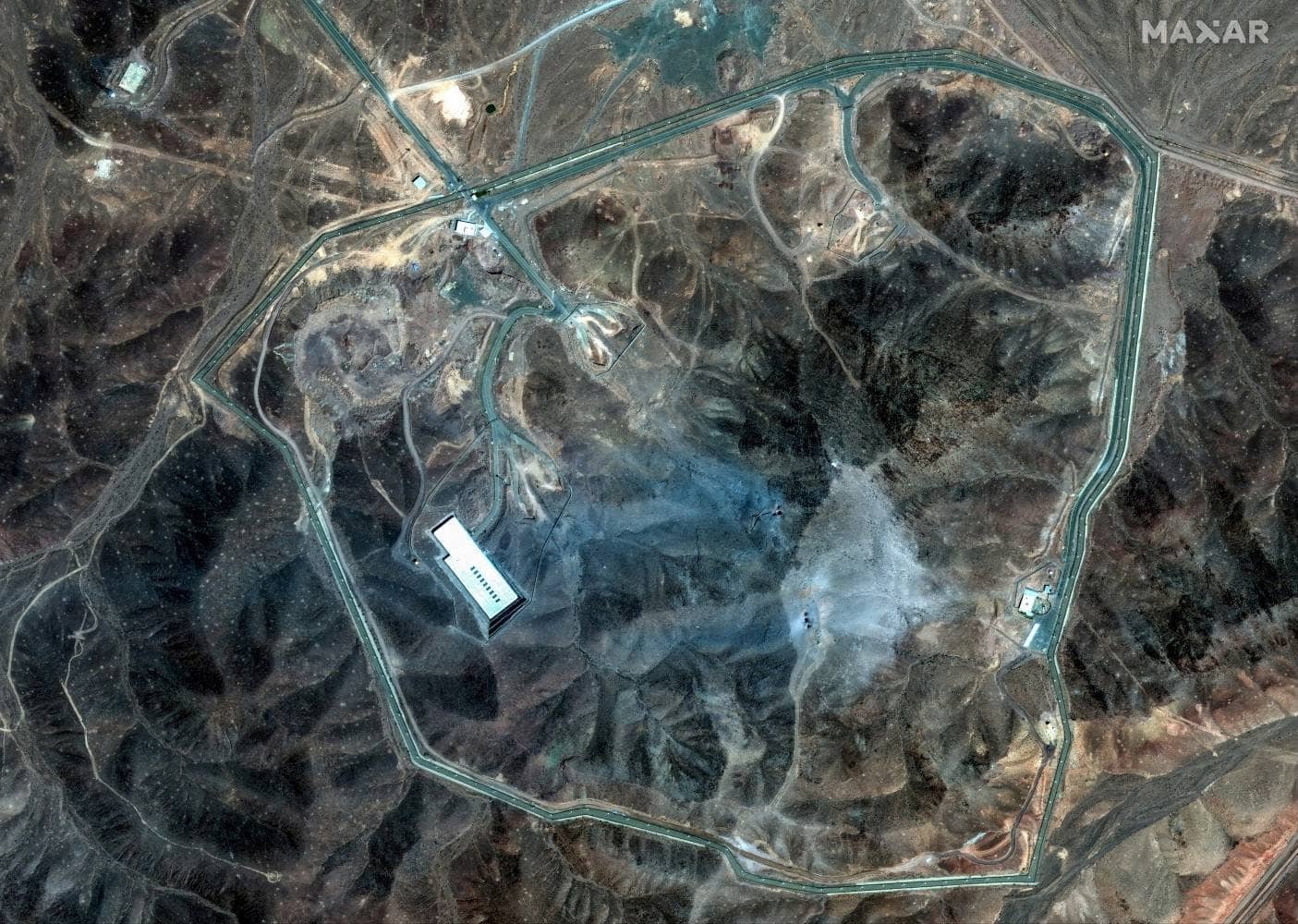
WHEN THE UNITED States bombed Iran in the early hours of Sunday local time, it targeted three facilities central to the country’s nuclear ambitions: the Fordow uranium enrichment plant, the Natanz nuclear facility, and the Isfahan nuclear technology center. Newly released satellite images show the impact of the attack—at least, what can be seen on the ground.
The brunt of the bombing focused on Fordow, where US forces dropped a dozen GBU-57 massive ordnance penetrators as part of its “Midnight Hammer” operation. These 30,000-pound “bunker-buster” bombs are designed to penetrate as deep as 200 feet into the earth before detonating. The Fordow complex is approximately 260 feet underground.
Källa: What Satellite Images Reveal About the US Bombing of Iran’s Nuclear Sites