
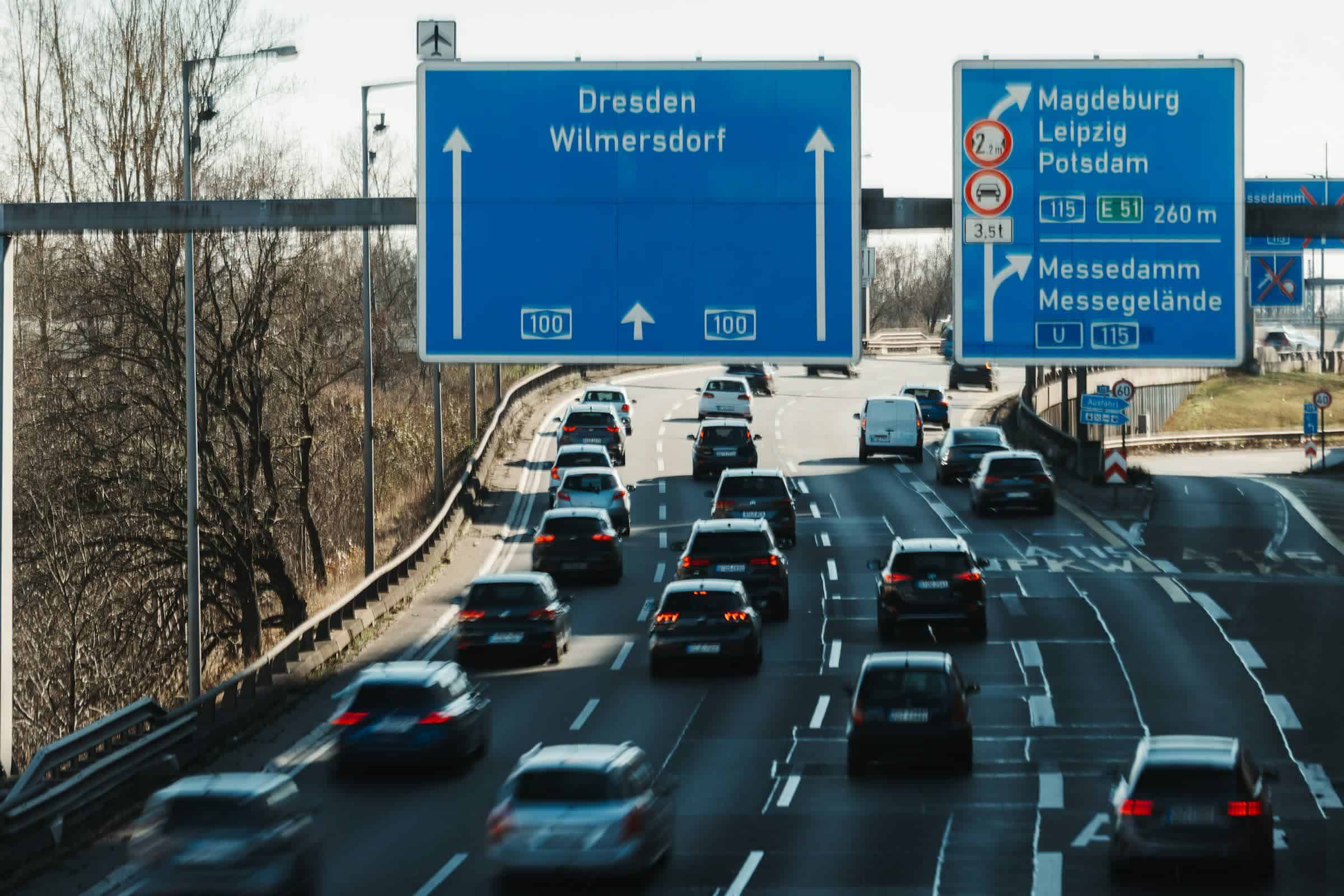
In the latest example of why we shouldn’t blindly put our faith in online map services, German autobahns and highways were plunged into chaos when Google Maps incorrectly showed that vast sections of the roads were closed. The incident’s timing was especially bad as it coincided with the start of a holiday break.
German motorists likely felt disheartened at the sight of all the stop signs on Google Maps on Thursday. The Guardian reports that major roads in western, northern, south-western and central parts of the country were shown as closed. Even parts of Belgium and the Netherlands appeared to have ground to a halt.
Källa: German roads thrown into chaos after Google Maps mislabels highways as closed